
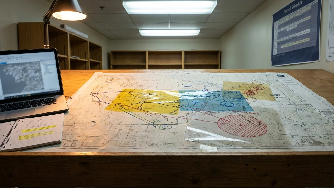
Geographic business is the practice of using location-based data and spatial analysis to make better operational and strategic decisions. Companies layer Geographic Information System (GIS) technology onto core functions, from site selection and market segmentation to supply-chain routing and customer targeting, so they can visualize where demand clusters, where competitors operate, and where untapped opportunities exist. Understanding the geographic business model is essential for any organization that wants to grow strategically, reduce costs, and serve customers more effectively across diverse regions.
Table of contents:
- What is a geographic business and why does location intelligence matter?
- How do businesses use geographic data to drive strategy?
- How is GIS used in business operations and decision-making?
- What major companies use GIS and what can we learn from them?
What is a geographic business and why does location intelligence matter?
Quick answer: A geographic business applies spatial data and mapping tools to core decisions so that physical location becomes a strategic variable, not an afterthought. Location intelligence answers questions that spreadsheets cannot, such as which neighbourhood has underserved demand or which distribution route minimizes fuel costs.
Location intelligence turns raw coordinates into competitive insight. A retailer analyzing foot-traffic heat maps makes better leasing decisions than one relying on intuition. A logistics firm overlaying road-network data with delivery density cuts idle time. A financial services company mapping client concentration identifies regulatory exposure before it becomes a problem.
The geographic dimension also shapes how businesses operate across borders. Mauritius, for example, ranked 13th out of 190 countries in 2020 for ease of doing business, making geographic positioning within the African and Indian Ocean region a deliberate strategic choice for international investors. Physical location affects tax treatment, permit eligibility, access to trade corridors, and the talent pool available to the business.
One common misconception is that location intelligence is only for large multinationals with dedicated GIS teams. In practice, any business that serves customers across more than one area benefits from spatial thinking, the tools have become accessible at every scale.
How do businesses use geographic data to drive strategy?
Quick answer: Businesses use geographic data to segment markets by location, optimize logistics routes, select new sites, manage risk across regions, and tailor products or services to local demand patterns. The data source and the decision it informs determine which spatial approach is most useful.
Geographic data feeds into at least four distinct strategic decisions:
- Market segmentation: Grouping customers by geography reveals which regions generate the most revenue per capita and which are underserved, so marketing spend goes where return is highest.
- Site selection: Overlaying demographic data, competitor locations, and infrastructure maps identifies optimal premises before a lease is signed.
- Logistics and supply-chain design: Spatial routing reduces delivery distance and fuel cost, and flags single-point-of-failure risks in the network.
- Regulatory and tax planning: The jurisdiction a business operates in changes its obligations materially. In Mauritius, for instance, corporate income tax is levied at a flat rate of 15% on business profits, interest, royalties, foreign dividends, and rent, a figure that differs substantially from many other regional hubs and directly affects the financial model for internationally mobile businesses.
The tradeoff worth noting: Geographic data is only as useful as the decisions it feeds. Collecting spatial datasets without a clear analytical question wastes time and budget. The exception is compliance-driven mapping, some regulated industries must document geographic exposure regardless of whether the output changes a business decision.
For investors thinking about where to incorporate or expand, Mauritius also offers a specific financial path. A minimum investment of USD 300,000 in a qualifying business activity can open a route to residency, reduced from a previous threshold of USD 375,000 under the latest budget. Separately, an Innovator Permit requires at least USD 40,000 invested in an new business. These thresholds illustrate how geographic location, the specific jurisdiction chosen, creates tangible financial and structural consequences that pure market analysis would miss. For a full picture of the latest investment environment, see changes you should expect in 2025.
How is GIS used in business operations and decision-making?
Quick answer: GIS, Geographic Information System, is the software infrastructure that collects, stores, analyzes, and visualizes spatial data. Businesses use it to map customer distributions, plan infrastructure, assess environmental risk, and model scenarios before committing capital to a location or route.
At its core, GIS layers multiple datasets onto a shared map so decision-makers see relationships that would be invisible in a table. A bank might overlay branch locations, population density, and average income to decide where to open next. A property developer maps flood zones against zoning rules to filter viable parcels. A healthcare network plots patient postcodes against clinic capacity to identify coverage gaps.
GIS also supports ongoing operations, not just one-off decisions:
- Real-time fleet tracking: Dispatchers reroute vehicles around congestion or road closures, reducing delivery delays.
- Territory management: Sales teams receive balanced geographic territories based on actual customer density, not arbitrary boundaries.
- Risk monitoring: Insurers and lenders use spatial data to track exposure concentration, how much of a portfolio sits in one coastal area, for example.
- Environmental compliance: Businesses operating near protected zones use GIS to document buffer distances and demonstrate regulatory adherence.
The limitation to acknowledge: GIS outputs are only as reliable as the input data. Outdated shapefiles, inconsistent postcode databases, or low-resolution satellite imagery produce misleading maps. Building a data-quality audit into any GIS workflow is not optional, it is the step that separates actionable insight from expensive guesswork.
Mauritius has invested in digital infrastructure that supports geographic business operations, including a dedicated fintech environment. For investors focused on technology-driven sectors, understanding how that infrastructure works is useful context: Mauritius’ new Fintech Hub positions the island as a platform for cross-border digital operations, an environment where geographic positioning and digital capability reinforce each other.
What major companies use GIS and what can we learn from them?
Quick answer: Large retailers, logistics operators, utilities, insurers, and public-sector organizations are among the heaviest users of GIS. The common thread is that each operates across multiple physical locations where small improvements in spatial efficiency compound into significant cost or revenue gains.
The most instructive lessons from large GIS adopters are not about the software itself, they are about the organizational habits that make spatial data useful:
- Centralized data governance: Organizations that benefit most from GIS maintain a single authoritative dataset rather than letting each department maintain its own map. Fragmented spatial data produces conflicting analyses.
- Cross-functional access: GIS stops being a specialist tool and becomes a business asset when finance, operations, marketing, and compliance teams can all query the same maps without needing a GIS analyst as an intermediary.
- Scenario modeling before commitment: High-performing logistics operations run spatial simulations of new warehouse locations or route structures before signing leases or contracts, not after.
- Integration with live operational data: Static maps become significantly more valuable when they update in near-real-time from IoT sensors, point-of-sale systems, or delivery telemetry.
The tradeoff for smaller businesses is implementation cost and internal capability. Enterprise GIS platforms carry significant licensing and training overhead. The practical alternative for smaller operations is cloud-based spatial tools with subscription pricing, which offer core mapping and analysis capabilities without requiring a dedicated GIS team.
For businesses targeting the African and Indian Ocean region, geographic positioning within Mauritius adds a layer of strategic value beyond the software. Foreign investors are entitled to 100% ownership of their businesses in Mauritius, a structural advantage that complements geographic intelligence by removing the ownership constraints that reduce strategic flexibility in many other jurisdictions. Businesses exploring how international investors can use Mauritius’s digital infrastructure will find useful detail in how international investors can thrive in Mauritius’s digital economy:
| Geographic business dimension | What it involves | Primary business benefit |
|---|---|---|
| Market segmentation | Grouping customers or demand by spatial area | Efficient allocation of marketing and sales resources |
| Site selection | Overlaying demographics, competition, and infrastructure | Reduces risk of underperforming locations |
| Logistics optimization | Spatial routing and network design | Lower delivery costs and faster service times |
| Jurisdiction and tax planning | Selecting operating location based on regulatory and fiscal conditions | Improved after-tax returns and permit access |
| Risk monitoring | Mapping portfolio or asset concentration | Earlier identification of geographic exposure |
| Environmental compliance | Documenting proximity to protected or regulated zones | Avoids regulatory penalties and delays |
FAQ
What is geographic in business?
In business, “geographic” refers to how a company’s location, the location of its customers, and the spatial distribution of markets, assets, or risks affect its strategy and operations. Geographic factors include the jurisdiction’s tax and regulatory rules, physical proximity to customers or suppliers, and the competitive environment within a defined area. Businesses that treat geography as a variable, not a fixed background condition, make faster and more accurate decisions about where to invest, where to expand, and where to pull back.
How do businesses use geographic data?
Businesses use geographic data to segment markets, select new sites, design logistics networks, manage regulatory exposure, and target customers with location-specific offers. The data comes from sources such as census records, satellite imagery, GPS telemetry, and third-party mapping databases. The value is not in collecting the data but in connecting it to a specific operational or strategic question, without that link, geographic data is an overhead rather than an asset.
How is geographic information system (GIS) used in business?
GIS is used in business to layer multiple spatial datasets onto a shared map so that relationships between location, demand, risk, and infrastructure become visible. Common applications include fleet routing, territory planning, retail site selection, environmental compliance mapping, and insurance risk modeling. The technology is available across a wide range of scales, from enterprise platforms used by large logistics and utility companies to cloud-based subscription tools accessible to smaller organizations without a dedicated GIS team.
What major companies use GIS?
Large retailers, telecommunications operators, utility companies, insurance groups, and public-sector agencies are among the most established GIS users. These organizations share a common characteristic: They operate across many physical locations simultaneously, so even marginal improvements in spatial efficiency, a shorter delivery route, a better-placed facility, a more accurate risk map, accumulate into material cost savings or revenue gains. The same spatial logic applies to any business managing assets, customers, or operations across more than one geographic area.
- #geographic business
- #GIS
- #location intelligence
- #Mauritius investment
- #spatial data